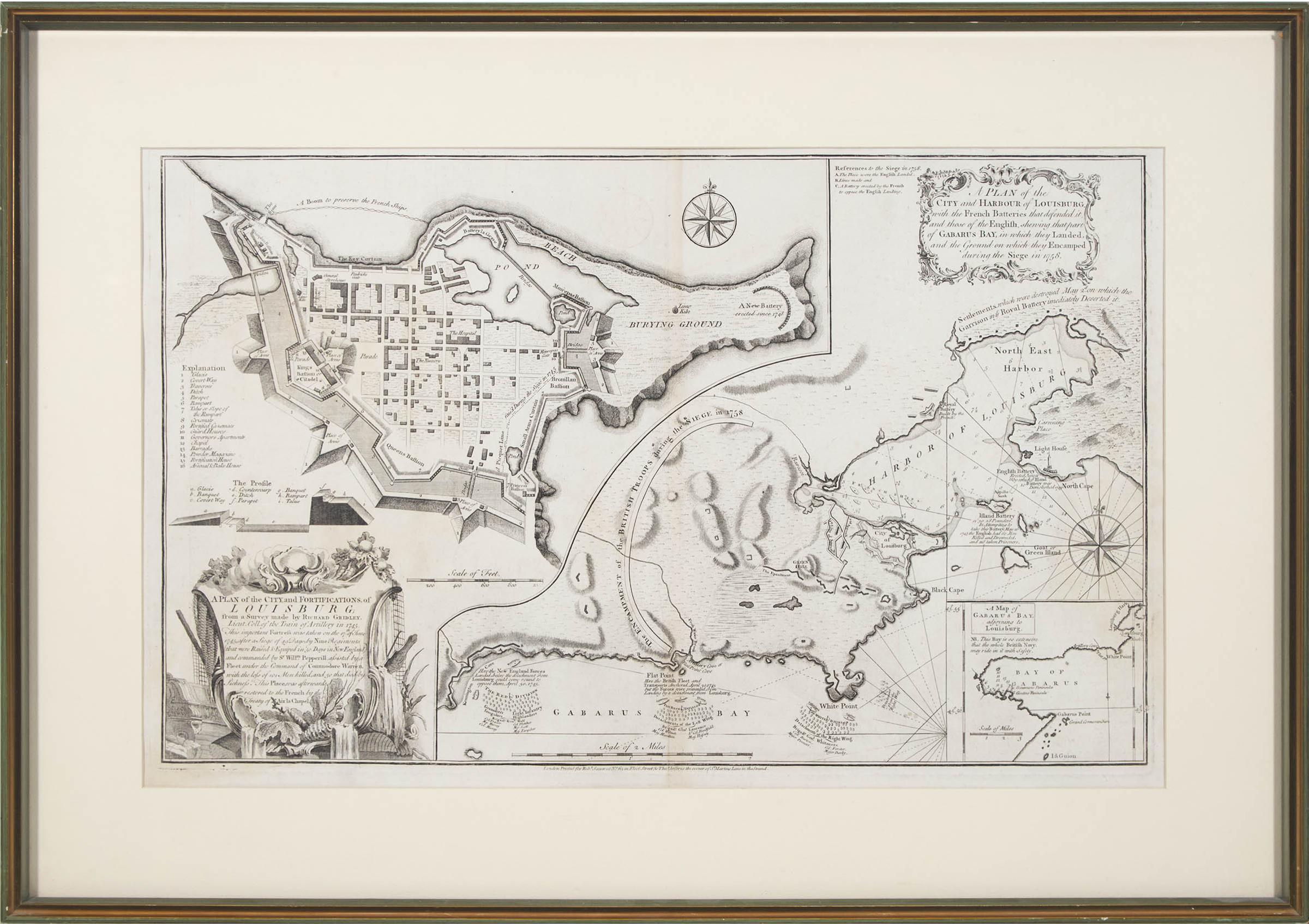
A Plan Of The City And Harbour Of Louisburg Etc.
3rd state engraved copper plate composite map of louisburg, nova scotia with a plan of the fortified city, a topographical map of its environs and an inset of gabarus bay
57.8 cms x 82.6 cms (22.75 ins x 32.5 ins)
Art Auction Lot
Sold
in Canada in 2025
Would you like to access this artist's prices today?