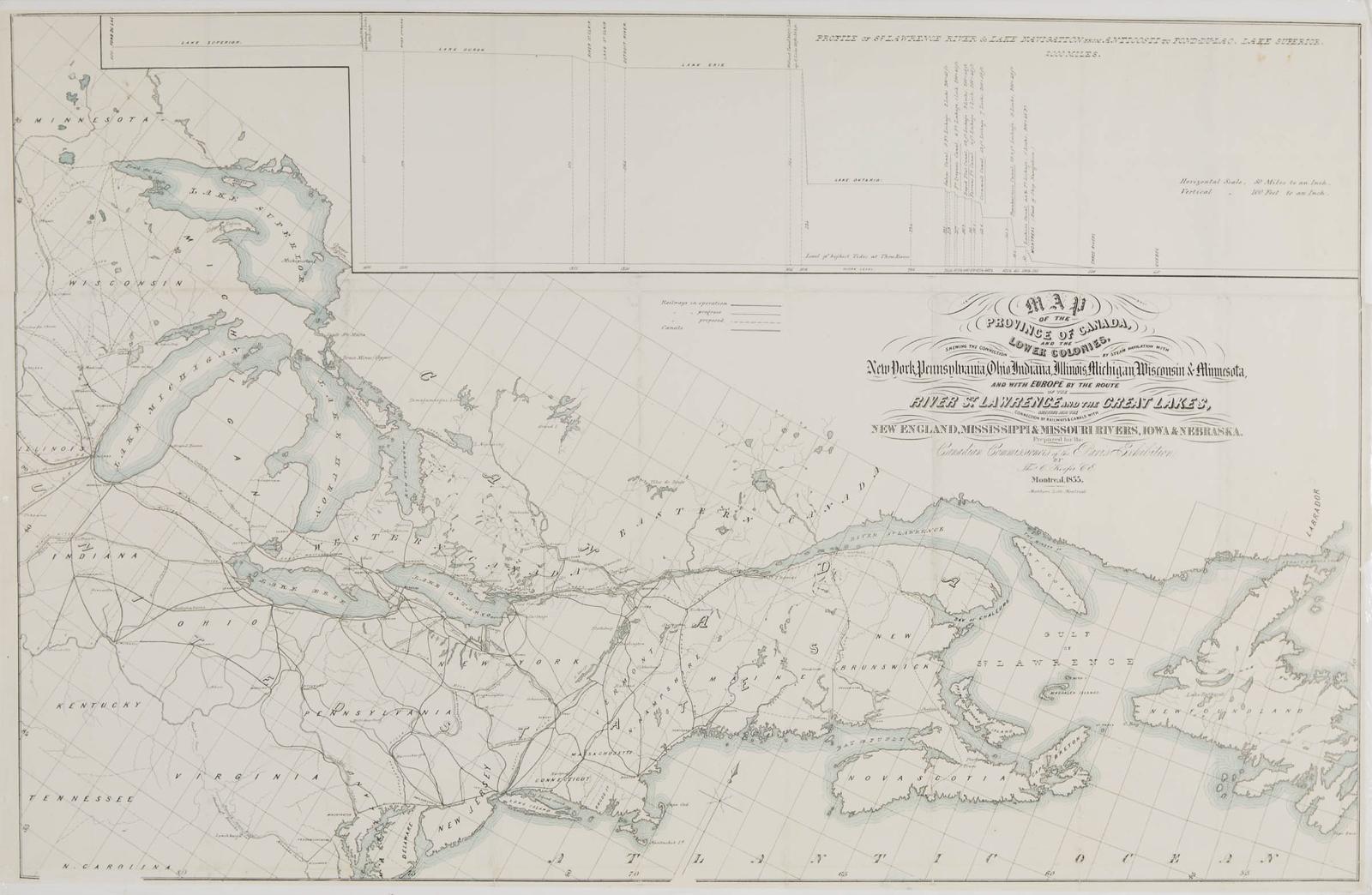
Map Of The Province Of Canada And The Lower Colonies, 1855
25.5 cms (10.04 ins)
made in 1855
Lot offered for sale by Waddington's, Toronto at the auction event "Canadian Art, Culture and History" held on Thu, Nov 12, 2020.
Lot 63
Lot 63
Estimate: CAD $200 - $300
Realised: CAD $120
Realised: CAD $120
Lot description - from the online catalogue*
This map also includes a depth profile of the Great Lakes and the St. Lawrence River from Fond du Lac to Anticosti Island.
Most realised prices include the Buyer's Premium of 18-25%, but not the HST/GST Tax.
(*) Text and/or Image might be subject matter of Copyright. Check with Waddington's auction house for permission to use.
(*) Text and/or Image might be subject matter of Copyright. Check with Waddington's auction house for permission to use.