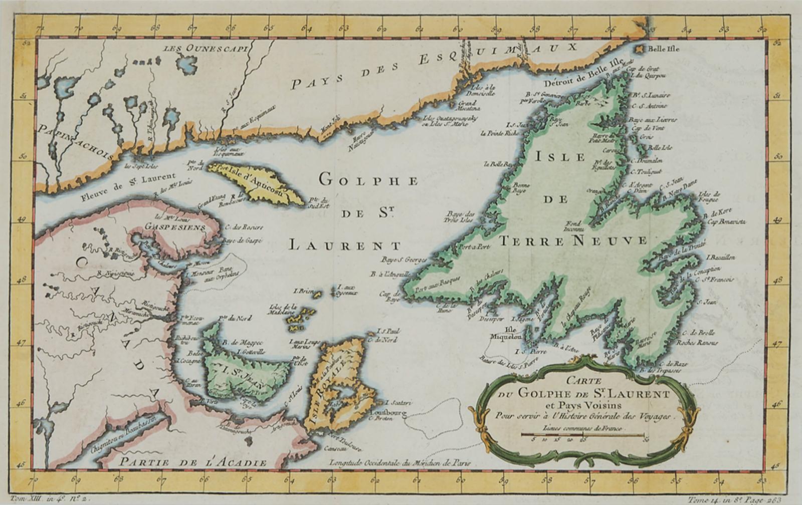
Carte Du Golphe De St. Laurent Et Payes Voisins, C.1760
hand coloured engraved map of the gulf of st. lawrence including newfoundland, labrador, prince edward island, the north shore of nova scotia, and anticosti island
9.25 cms (3.64 ins)
made in 1760
Art Auction Lot
Sold
in Canada in 2020
Would you like to access this artist's prices today?